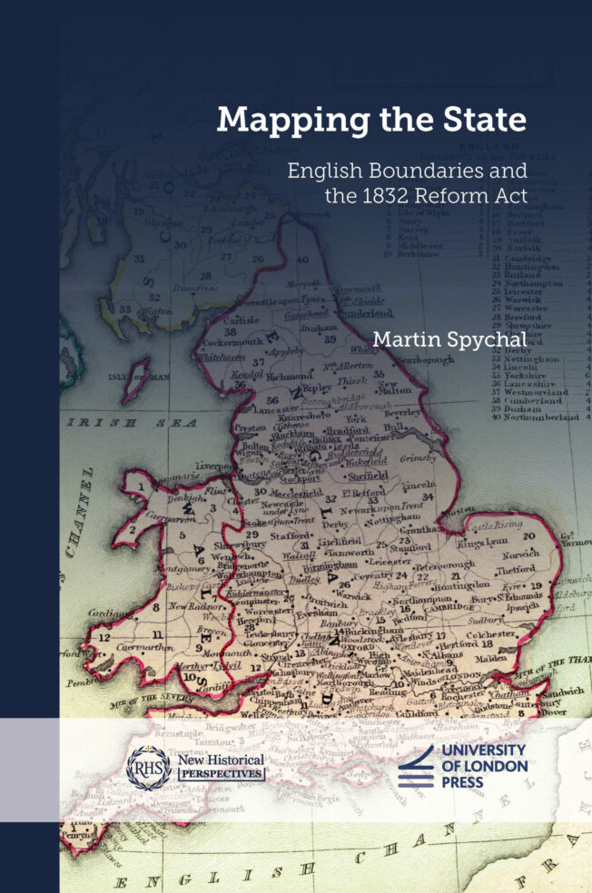

Mapping the State
English Boundaries and the 1832 Reform Act
Martin Spychal (Author)

Series: New Historical Perspectives
Published in association with: Institute of Historical Research, Royal Historical Society
Open Access publication funded by Jisc Open Access Community Framework
The 1832 Reform Act was a landmark moment in the development of modern British politics. By overhauling the country’s ancient representative system, the legislation reshaped constitutional arrangements at Westminster, reinvigorated political relationships between the centre and the provinces, and established the political structures and precedents that both shaped and hindered electoral reform over the following century.
Mapping the State leads to a fundamental rethinking of the 1832 Reform Act by demonstrating how boundary reform, and the reconstruction of England’s electoral map by the little-known 1831–2 boundary commission, underpinned this turning point in the development of the British political nation. Eschewing traditional approaches to the 1832 Reform Act, it draws from a significant new archival discovery – the working papers of the boundary commission – and a range of innovative quantitative techniques to provide a major reassessment of why and how the 1832 Reform Act passed, its impact on reformed politics both at Westminster and in the constituencies, and its significance to the expansion of the modern British state.
An original study that excavates the important role of the boundary commissioners in shaping the 1832 Reform Act and post-reform electoral politics. Based on deep archival research and methodologically innovative, Spychal’s book opens up a significant new dimension for all those interested in the evolution of British democracy.
—Henry Miller, Vice-Chancellor’s Fellow, Department of the Humanities, Northumbria University, UK
A meticulously researched and fascinating study of the ways in which the charting of constituency boundaries transformed the electoral landscape in 1832 and thereafter. Mapping the State offers a unique insight into a pivotal moment in the shaping of modern politics and reminds us that where voters are situated may matter more than their numbers.
—Sarah Richardson, Professor of Modern British History, University of Glasgow, UK
…the details relating to … the Parliamentary Boundary Commission appointed in 1831 have not hitherto been subjected to full and detailed analysis. This omission is now put right, and splendidly so, in this book- of-the-thesis, published to high standards by the University of London Press.
—Richard A. Gaunt University of Nottingham, UK
Midland History
… well contextualised and wide-ranging analysis … work of impressive scholarship which deserves to be widely read, and not just by political historians, but all those interested in the making of the modern state.
—Matthew Roberts, Sheffield Hallam University, UK
Parliamentary History
Overall, the book provides an instructive account of the process by which constituency boundaries were established… It is an area that has largely been ignored in the past… Undoubtedly, the book is a valuable contribution to the historical literature.
—R. C. Wheeler, British historian, historical geographer, and cartographic scholar, Lincoln, UK
Imago Mundi: The International Journal for the History of Cartography
-
Introduction
Part I Envisioning England’s reformed electoral map
- 1 A balancing Act? Interests and parliamentary reform, 1780-1832
- 2 ‘The most unpopular part of the bill throughout the country’: reintegrating boundaries into the story of reform
- 3 Towards a science of government: the ‘spirit of inquiry’ and the establishment of the 1831-2 boundary commission
-
4 Whipped by the beadles? Data-gathering for the boundary commission
Part II Redrawing England’s electoral map
- Chronology and voting data
- 5 ‘The work we are engaged in is intended to last for a century’: redrawing England’s ancient electoral map
- 6 The Droitwich dilemma: interests, grouping and the multiple parish borough
- 7‘All the kindred interests of the town and neighbourhood’: new borough limits
- 8 Under the knife: reconstructing the county map
- Conclusion
PDF: 9781915249265
EPUB: 9781915249272
Read Online: 9781914477751
Hardback: 9781914477393 / 368 pages / 240mm x 160mm
Paperback: 9781915249258 / 368 pages / 234mm x 156mm
Martin Spychal (Author)
Martin Spychal is a historian of modern Britain, specialising in nineteenth-century politics, society and culture. He is a Senior Research Fellow at the History of Parliament working on the House of Commons 1832–1945 project.
An original study that excavates the important role of the boundary commissioners in shaping the 1832 Reform Act and post-reform electoral politics. Based on deep archival research and methodologically innovative, Spychal’s book opens up a significant new dimension for all those interested in the evolution of British democracy.
—Henry Miller, Vice-Chancellor’s Fellow, Department of the Humanities, Northumbria University, UK
A meticulously researched and fascinating study of the ways in which the charting of constituency boundaries transformed the electoral landscape in 1832 and thereafter. Mapping the State offers a unique insight into a pivotal moment in the shaping of modern politics and reminds us that where voters are situated may matter more than their numbers.
—Sarah Richardson, Professor of Modern British History, University of Glasgow, UK
…the details relating to … the Parliamentary Boundary Commission appointed in 1831 have not hitherto been subjected to full and detailed analysis. This omission is now put right, and splendidly so, in this book- of-the-thesis, published to high standards by the University of London Press.
—Richard A. Gaunt University of Nottingham, UK
Midland History
… well contextualised and wide-ranging analysis … work of impressive scholarship which deserves to be widely read, and not just by political historians, but all those interested in the making of the modern state.
—Matthew Roberts, Sheffield Hallam University, UK
Parliamentary History
Overall, the book provides an instructive account of the process by which constituency boundaries were established… It is an area that has largely been ignored in the past… Undoubtedly, the book is a valuable contribution to the historical literature.
—R. C. Wheeler, British historian, historical geographer, and cartographic scholar, Lincoln, UK
Imago Mundi: The International Journal for the History of Cartography
Subject: British and Irish History, History
BISAC codes: HIS015060
Thema codes:
Keywords: British, England, Westminster, archival, big data, bill, boundaries, boundary commission, constituency, democracy, electoral map, parliament, politics, voting
EPUB accessibility:
Accessibility summary
Table of contents navigation
Index navigation
Single logical reading order
Short alternative textual descriptions
Full alternative textual descriptions
Print-equivalent page numbering
ARIA roles provided
This publication generally has been produced to meet WCAG Level AA, but it has not been checked for language shifts or for colour contrast within images. Please let us know if you find anything inaccessible within our book as we continue improving our process. You can contact us at uolp.accessibility@london.ac.uk.
More books in this subject area

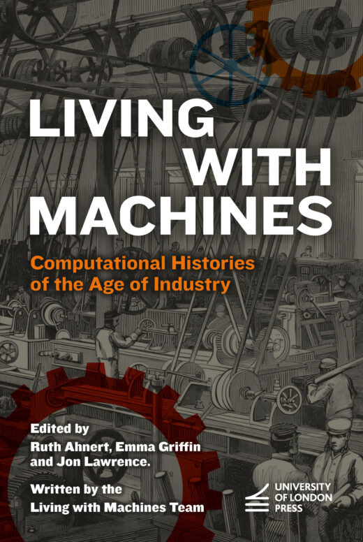
Living with Machines
Ruth Ahnert
Emma Griffin
Jon Lawrence
The Living with Machines Team
12 November 2026

Fasti Ecclesiae Anglicanae 1541–1857: The Welsh Dioceses XIV
William H. Campbell
Joyce M. Horn
13 August 2026
Postcards, Translators and Esperanto Pioneers
Guilherme Fians
Bernhard Struck
Claire Taylor
13 November 2025
Atlantic Isles: Travel and Identity in the British and Irish West, 1880–1940
Gareth Roddy
30 October 2025