The Victoria History of Herefordshire: Colwall

The Victoria History of Herefordshire: Colwall

Colwall lies on the western slopes of the Malvern Hills, near the market town of Ledbury. The large village comprises Colwall Stone, Upper Colwall and Colwall Green. On the Herefordshire Beacon, in the south-eastern corner of the parish, is the Iron Age ‘British Camp’. At the time of Domesday Book the bishop of Hereford’s manor covered the whole parish, but shortly afterwards Barton Colwall manor was created to endow a prebend in the cathedral. Between the 15th and 17th centuries resident gentry established themselves on other estates, which came to characterise the pattern of landownership.

Until the 19th century Colwall’s economy was predominantly agricultural, including cultivation of orchards and hops. From the mid 19th century the northern part of the parish was transformed by the development of the spa at neighbouring Malvern, and by the arrival of the railway in 1861, following the construction of tunnels under the Malvern Hills by local engineer Stephen Ballard. Mineral water from Colwall springs was bottled commercially, and in 1892 Schweppes opened a bottling plant at Colwall Stone. Colwall’s rural location, natural springs and beautiful scenery attracted visitors to the numerous inns, hotels and boarding houses. Others settled in the parish, occupying new houses including notable arts and crafts villas. In the 21st century the parish continues to attract both visitors and new residents.

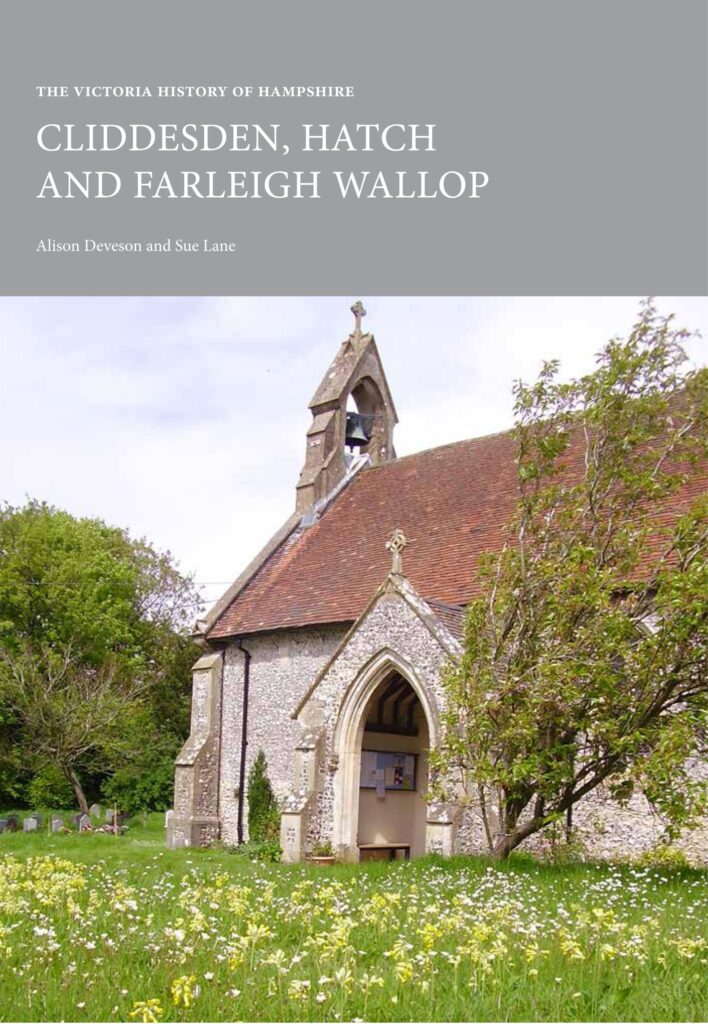
The Victoria History of Hampshire: Cliddesden, Hatch and Farleigh Wallop

The Victoria History of Hampshire: Cliddesden, Hatch and Farleigh Wallop

Tracing the history of two small, closely-linked parishes which lie to the south of Basingstoke on the edge of the chalk downlands, and a third parish, Hatch (abandoned towards the end of the 14th century and has formed part of both of the others), Cliddesden, Hatch and Farleigh Wallop is the latest publication from the Victoria County History of Hampshire project. Each settlement has a common manorial descent from the 15th century onwards and they were managed as components of a single estate under the lordship of the Wallop family from their seat at Farleigh House. This volume discusses the manorial owners and the development of the estate, and also includes much more about the lives and activities of ordinary people living and working in the settlements.

Religious and social history of the area is covered and the survival of an unusually full set of records has enabled the history of the school to be told in detail. This, coupled with lively tales of social activities, provides a fascinating picture of rural life as it was and as it has become in the 21st century – largely a home for commuters, with Hatch absorbed into an ever-growing Basingstoke and farming undertaken from one centre across nearly all the land.

Published by the Institute of Historical Research at the University of London, this is the fourth volume from the Victoria County History of Hampshire following Mapledurwell, Steventon and Basingstoke: a Medieval Town c.1000–c.1600. Each title provides a scholarly account of individual villages and towns of interest to their inhabitants, those in the wider area and to those beyond Hampshire itself.
The Victoria History of Essex: Harwich, Dovercourt and Parkeston in the 19th Century

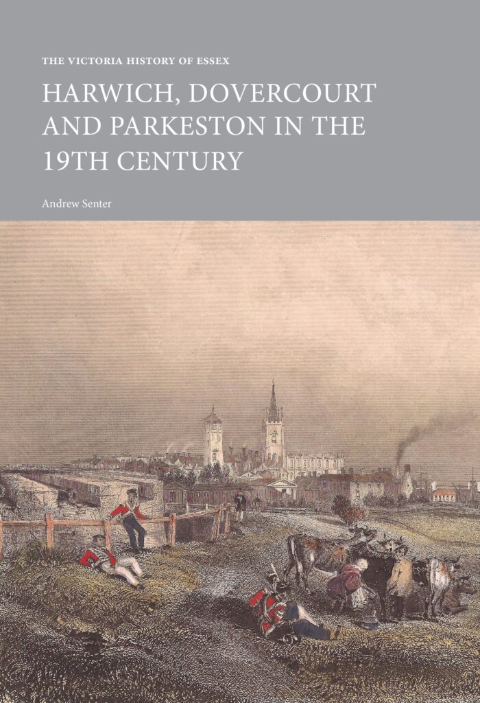
The Victoria History of Essex: Harwich, Dovercourt and Parkeston in the 19th Century

Exploring the changing character of Harwich, Dovercourt and Parkeston through the course of the 19th century, included in this book is the economic, social and political history of the borough. The book provides an overview of the development of areas such as education, religion, public health with a strong focus on Harwich’s maritime history.

The borough of Harwich, including the parish of Dovercourt, lies in the far north east corner of Essex. Its coastal location as a natural harbour at the mouth of the Orwell river dictated that Harwich had a prominent role as a port and naval base from the 14th century onwards. In the 19th century Harwich retained its military function, particularly during the Napoleonic and Crimean wars. The port declined economically as a result of losing the continental packet service in the 1830s, but it was rejuvenated by the opening of the railway in 1854. Dovercourt grew as a residential area and seaside resort in the second half of the 19th century, although the rest of the parish retained much of its traditional agricultural character. The opening of the port at nearby Parkeston in 1883 led to a rapid growth in both passenger traffic and trade to and from the continent.

The Victoria History of Gloucestershire: Cheltenham Before the Spa

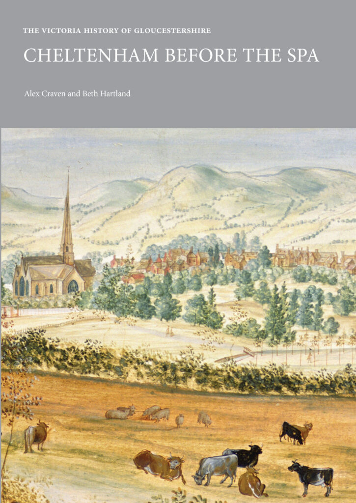
The Victoria History of Gloucestershire: Cheltenham Before the Spa

The familiar image of Cheltenham, a large and prosperous former spa town, world-famous on account of its Georgian and Regency architecture, its festivals and educational establishments, masks an earlier history. While numerous descriptions of the town have been published over the years, most say little about the many centuries of its existence before the 1740s, when it began to develop as a fashionable resort. This is the fullest account ever attempted to chronicle those centuries, from the late Saxon period until the 18th century. In this period, Cheltenham developed into a successful small town, ranged along a single main street, with the market and trades serving not only its own needs but also those of the surrounding countryside. It draws on a range of documentary sources preserved in local and national archives, many of them never examined in detail before. It therefore helps to explain the foundations upon which present-day Cheltenham was constructed.

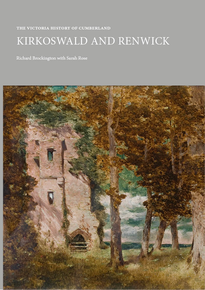
Victoria County History of Cumbria: Kirkoswald and Renwick

Victoria County History of Cumbria: Kirkoswald and Renwick

Kirkoswald and Renwick is the first parish history to be produced by the Cumbria County History Trust in collaboration with Lancaster University for the Victoria County History of Cumbria. Covering 30 square miles of agricultural land and moorland, the modern civil parish of Kirkoswald lies between the river Eden and the Pennine heights, on the western edge of the North Pennine Area of Outstanding Natural Beauty. Kirkoswald township, anciently a market and small industrial centre, lies nine miles north east of Penrith. Until 1566 Kirkoswald Castle was the principal seat of the powerful Barons Dacre of the North whose massive landholdings extended over six counties. In 1523 Lord Thomas Dacre translated St Oswald’s church, a pre-conquest foundation for which the village is named, to collegiate status, and after the Reformation the college became a gentleman’s residence, acquired in 1611 by the Fetherstonhaugh family whose home it still is after 400 years and 11 generations of descent.

The economy, largely dependent on agriculture, benefited for 600 years from Kirkoswald’s role as a market and business centre, with some manufacturing (textiles, paper and timber) powered by the waters of the Raven Beck. From 1631 to about 1850 there was coal mining on the Pennine Edge (with associated lime-burning). In the 21st century the parish remains an unspoilt and beautiful corner of England, home to some 30 farms specialising in animal husbandry, and many retired people and commuters to Penrith and Carlisle.